Cool Earth Deforestation Forecasting: What if?
What if; the start of all great breakthroughs and the question that propels humanity forward. From sliced bread to the man on the moon, we wouldn’t have got very far as a species without it.
When it comes to deforestation forecasting, ‘what if’ is no different.
During Cool Earth’s weekly team meeting, the question was asked: ‘What if we could predict where and when deforestation will happen?’ In true Cool Earth style, we rose to the challenge.
We were under no illusion that developing a system to produce spatial forecasts of future deforestation events would not be a challenge. But with a new generation of machine learning and a wealth of forest data available, now was the time to give it a go. Backing for the project’s R&D was part-funded by the European Regional Development Fund through the by Aerospace Cornwall programme, and research links were developed with experts in the field of artificial intelligence.

Thousands of historic data points on deforestation were combined with topographic data and satellite imagery. Cool Earth’s Monitoring, Evaluation and Learning team taught the kind of technology used to develop self-driving cars and recognise postcodes, to query and learn from this data and forecast future deforestation.
How do rates of deforestation change overtime? Where does deforestation occur in relation to hills and valleys or rivers and roads?
The system is able to identify patterns in this type of information and uses it as training material. The deep learning approach, however, means that we don’t necessarily know what patterns have been identified; only that what has been learned by the system can be used to predict where deforestation will happen next. And that the system does a reasonable job of prediction when tested using historical data.
With each partnership Cool Earth enters into, it is increasingly obvious that deforestation is not random. But the patterns of deforestation can be complex, and it is potentially beyond human capabilities to assimilate large datasets and produce useful insights. Our new system can support on the ground efforts to gather information about how the rainforest is used and to understand the key threats and drivers to its destruction. These combined approaches provide a multi-faceted view of the challenges facing communities.
By taking data from past deforestation, and using deep learning techniques to identify patterns, Cool Earth can produce maps of high-risk areas and empower local people to take action that keeps trees standing.
In the coming months, we will be working to produce detailed deforestation forecasting maps that showcase these patterns. It’s not magic, and there will always be outliers, but they will help us to build on lessons from the past, by learning from the future.
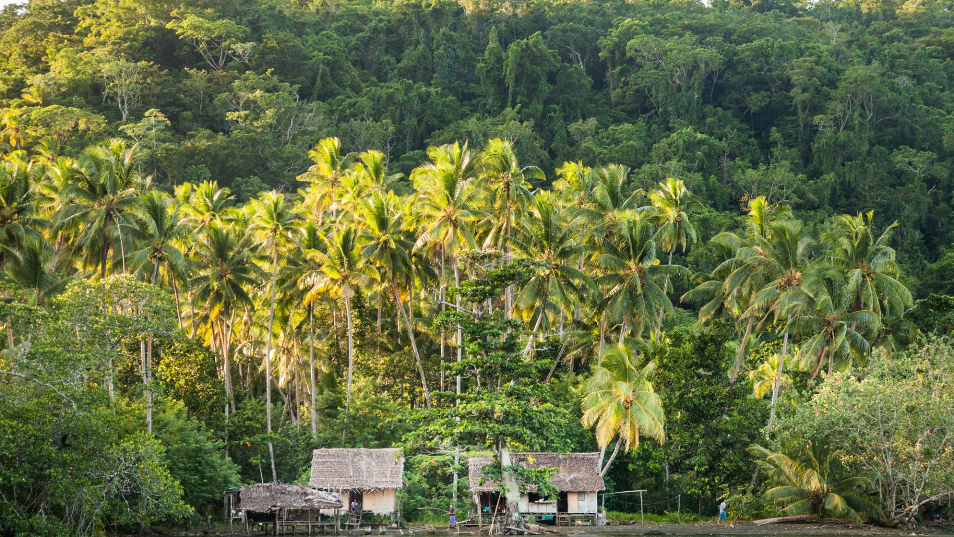
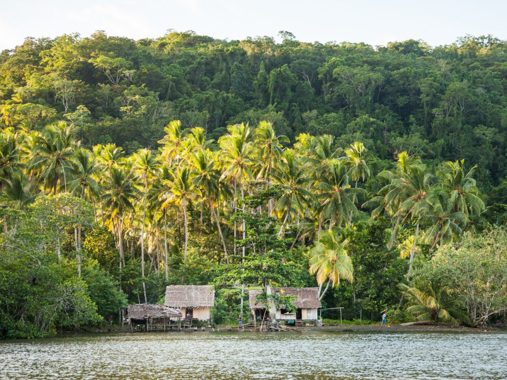
At the heart of Cool Earth’s work has always been an agile approach, adjusting to threats that arise and supporting communities wellbeing along the way. From slash and burn in the Peruvian Amazon to illegal logging in Papua New Guinea, predicting deforestation events with high accuracy will guide Cool Earth’s communities to take preemptive action to protect their forest.
Cool Earth’s approach is consistently community-led. This is just one more way to support those who call rainforest home to keep it standing.